
A marine distance table gives the sea distance between two ports, measured in nautical miles along a realistic sailing route rather than in a straight line across the map. For most of the last century those distances lived in printed volumes, and a navigator built a voyage distance by adding legs together through a network of connecting points. Today the same answer arrives in one click. This piece explains how distance tables worked, how sea distances are calculated now, and why getting the number right still decides whether a voyage estimate holds up.
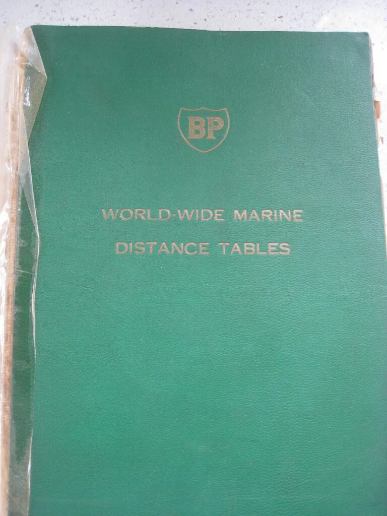
I was recently weeding out my bookcase to make room for my more recent acquisitions and came across this rather dog-eared copy of the BP World-Wide Marine Distance Tables and thought I’d share this especially for the youthful members of this industry who maybe never considered that distance tables were at one time in paper form.
This edition goes back to my days as a Ship Operator with BP, and I suspect I took this home when we were issued with a new edition of tables in the office. A useful item for those ‘weekend duties’ we had to cover with pagers before the advent of mobile phones – but that’s another story!
For a full history check out the AtoBviaC website and I reckon this copy predates the example on their page as it’s just one volume.
What is a marine distance table?
A marine distance table is a reference that lists the sea distance, in nautical miles, between ports and waypoints along navigable routes. Because there are far too many port pairs to list every combination directly, the tables are built around connecting points, or junctions, that link one region to the next. To find a distance, you read the legs between your ports and the relevant junctions and add them together. The best-known examples are the BP World-Wide Marine Distance Tables, Reed’s Marine Distance Tables, and the Lloyd’s Maritime Atlas and its digital successor AtoBviaC, which remains an industry reference today.
How did they work?
You can see by this picture that the world was divided into six tables each with several connecting points to be able to move between the areas.
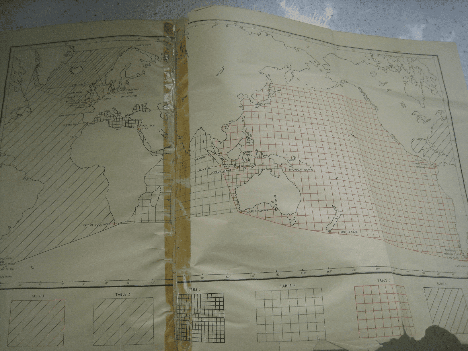
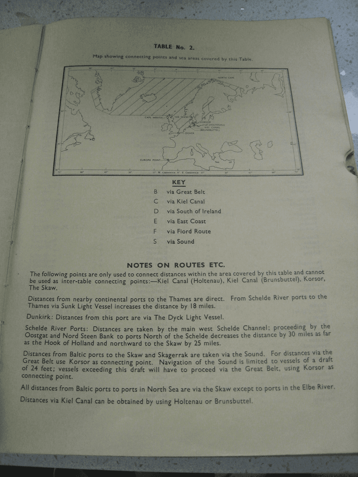
Using Table 2 as an example you may be able to make out that one of the waypoints is Europa Point so you would be able to get the distance from say Stockholm to Europa Point then go to Table 3 covering the Mediterranean and add Europa Point to say Augusta — add the two together and you get the distance from Stockholm to Augusta.
This is a page from Table 2 where you can see how to pick the distances, noting that distances to Europa Point are on the top line.
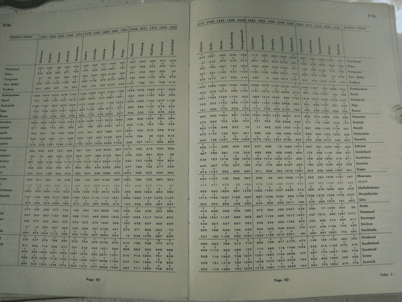
Imagine how many tables and connecting points you have to work through to get a distance from somewhere in North West Europe to Japan!
Now you can get these distances at a click of a mouse — you youngsters have it so easy!
How are sea distances between ports calculated today?
Today sea distances are calculated by electronic voyage-planning and routing software, and by electronic chart systems (ECDIS), which compute the distance along a plotted route in seconds. The software follows a realistic path: around coastlines and traffic separation schemes, and through canals such as Suez and Panama or around the capes when a canal is not used. Two ports can therefore return more than one legitimate distance depending on the route chosen, which is why a modern distance is only as good as the routing assumptions behind it. The connecting-point logic of the old tables still sits underneath: the software is walking a far denser network of waypoints than any navigator could by hand.
Great circle versus rhumb line: which distance is it?
A great-circle distance is the shortest path between two points across the curved surface of the earth. A rhumb-line distance follows a constant compass bearing, which is simpler to steer but longer, and the gap widens on high-latitude and east-west passages. Distance tables and voyage software can express either, so it is worth knowing which one a figure represents before it goes into an estimate. A nautical mile, the unit throughout, is 1,852 metres, defined as roughly one minute of latitude.
From distance to demurrage: why the number matters commercially
Distance is the first input to a voyage estimate, and an error in it compounds through everything downstream. It sets the sea passage time, which drives bunker consumption and cost, the estimated time of arrival, and the freight and time-charter-equivalent maths a fixture is judged on. The place it usually resurfaces is the claim. Underestimate the distance or pick the wrong routing, and the voyage comes in worse than the estimate, then the argument moves to laytime: when the vessel was really due, how much time was used, and who carries the excess. It rarely shows up as a line marked “distance”; it shows up as a demurrage dispute months later.
That is why the same record matters at both ends of the voyage. The historical picture of what routes and port calls actually produce is what turns a distance from a textbook number into a reliable forecast, and the same structured evidence is what settles the claim when the estimate is challenged. Marcura’s voyage and port-time intelligence is built on that record before the fixture, laytime and demurrage claims management applies it after, and the claims data that feeds back into the next voyage estimate closes the loop between what was planned and what happened
A note from Phil
At HubSE which is now a part of Marcura Claims, we aim to make the processing of demurrage claims as easy as possible with our AI and automation tools. We’re taking the data entry and searching for information out of the job, presenting the demurrage analyst with everything they need to get on with the job and add value with their negotiating skills. If you want to find out how we can ease your burden, please get in touch.